Creating great achievements with grand plans
Hongtu Chuangzhan Surveying and Mapping Survey Co., Ltd.


Hongtu Chuangzhan Surveying and Mapping Survey Co., Ltd.
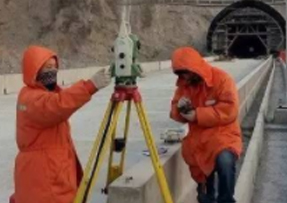
Liaoning Hongtu Chuangzhan Surveying and Mapping Co., Ltd. was established in 2001 and is a professional Grade A qualification surveying and mapping geographic information high-tech enterprise. The company has been listed as an executive director unit of the China Geographic Information Industry Association, one of the top 100 enterprises in the national geographic information industry, a vice chairman unit of the Liaoning Surveying and Mapping Society, and a vice chairman unit of the Liaoning Land Society. The company has always adhered to the development strategy of organizational grouping, production scale, business diversification, and refined management, providing a large amount of surveying and mapping support and technical services for national major engineering construction, geographical and national monitoring, key infrastructure construction, national defense construction, urban land planning, water conservancy, transportation, agriculture, energy, aerospace, and disaster prevention and relief.


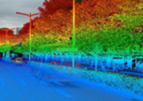
Aerial photography Satellite remote sensing images Laser point cloud data Oblique photography …

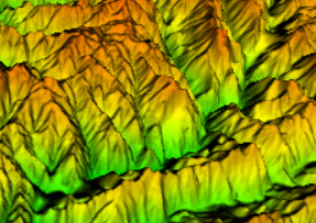
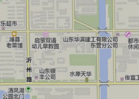
Production of DOM, DEM, DSM Multi scale DLG production Navigation electronic map production Radar SAR data processing

Target feature classification extraction Topic data extraction and analysis GIS data spatial analysis

Research and development of surveying and mapping production management software Development of software for multi-source data acquisition and mapping Research and development of GIS data management platform Professional application system development …


We can provide products and services that meet national defense requirements, and possess professional technical capabilities such as data processing, production, and research and development.

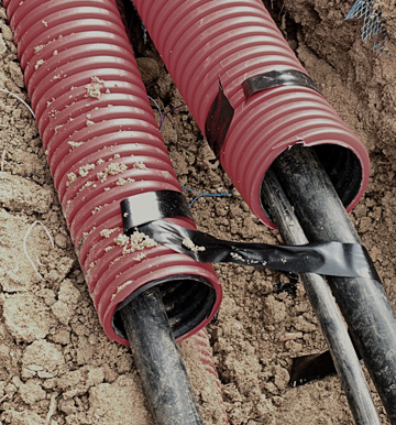
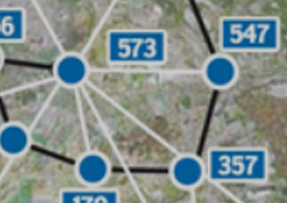
Urban underground pipelines refer to water supply, drainage, gas, heat, electricity, communication, broadcasting and television, industrial and other pipelines and ancillary facilities within the city, which are important infrastructure and lifelines to ensure urban operation.

For cities with relatively complete data on underground pipelines, relevant regulatory authorities carry out maintenance and updating of underground pipeline data according to the needs of urban development.
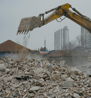
In order to meet the needs of the public interest, the state shall convert the land owned by agricultural collectives into state-owned land in accordance with the procedures and authorities prescribed by law, and in this process, surveying and mapping work shall be carried out.

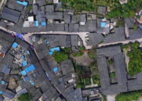
By integrating and unifying the surveying and mapping norms and data standards of various cities, the surveying and mapping work involved in engineering construction projects, such as cadastral surveying, planning and layout surveying, planning and condition verification surveying, and real estate surveying, will be merged into a comprehensive "multi surveying and mapping integration" project. The construction unit will commission a surveying and mapping company with corresponding surveying and mapping qualifications to carry out surveying and mapping activities.

 Online customer service